

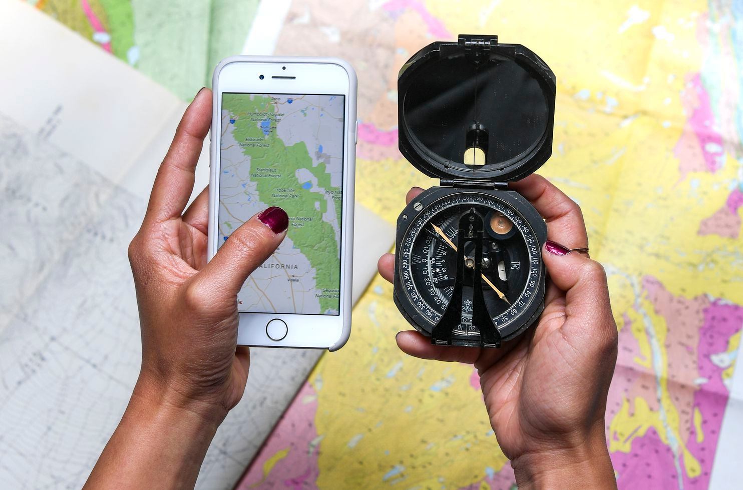
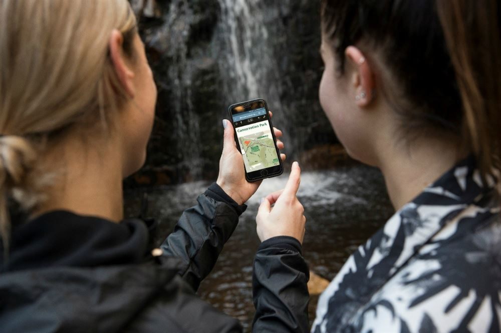
Having a mobile phone on a hiking trip may seem like a distraction as you soak in nature’s breathtaking scenery, but it can also be life-saving. By installing the Hiking Project app on your phone you can access trail information and avoid getting lost in the wilderness.
The app is an ideal outdoor navigation tool for both beginners and experienced trekkers. I find its uncluttered interface and interactive features perfect for hikers who need quick directions along the way.
If you’d like to add the Hiking Project app to your compass, flashlight, and camera, here’s how it will benefit you.
- About the Hiking Project App
- Key Features of the Hiking Project App
- The Hiking Project’s Map
- The Navigation Menu
- The Account Tab
- Hiking Project's Privacy Policy
About the Hiking Project App
The Hiking Project app functions like a map that helps users navigate hiking trails and their surroundings.
I consider the Hiking Project app as a guidebook for beginners of hiking like me. It recommends the best hikes I can explore near my location. I can also search for available hikes in an area I want to go to.
Developed by REI, an outdoor clothing and gear retailer, the Hiking Project app provides users full GPS route info, interactive features, elevation profiles, images, and more.
If you’re planning to hike, the app suggests highlights and insights from experts.
How to Download the Hiking Project App
The Hiking Project app remains free to date. It is available on both iPhone and Android devices.
To install the Hiking Project on your Android phone, go to the Google Play Store. Look for “Hiking Project.” Once the app appears, open it and then tap ‘Install.’
If you are an iPhone user, head to the App Store. Search for “Hiking Project.” When you see the app, hit the ‘Get’ button beside it.
Key Features of the Hiking Project App
Whether you are following a trail or going off-trail, the Hiking Project app can keep you on track. Let’s take a look at the major features of the app.
The Hiking Project app endorses more than 74,000 miles of trails to hike with your crew. It constantly updates its hiking database.
When I use the app, it quickly detects my exact location on the trail. It also allows me to download trails so I can view them offline especially when I am off the grid.
I also appreciate the high-resolution images and detailed trail maps in the app. For planners like me, you have the option to sync your to-do list and check-ins on the HikingProject website.
GPS Usage
Through GPS, the Hiking Project app can reveal your location on trails and vertical profiles.
However, note that the continued usage of GPS could shrink battery life.
The Hiking Project’s Map
The first major thing that greeted me after downloading the Hiking Project app is the home screen’s map. The app has descriptions for thousands of trails worldwide.
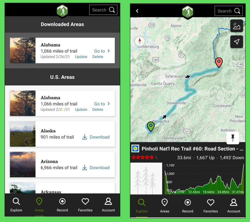
The logo of the Hiking Project app is at the top of the screen. On the upper right corner is the search bar, which you can use when you’re looking for certain trails or locations.
Below the search bar is a button that changes the appearance of the map from light-colored to strikingly bold colors that emphasize the division of the land and water. The other button is location, which spots your location on the map.
The routes are shown on interactive maps that can be zoomed, panned, and viewed in terrain or satellite modes. Simply slide your finger left or right and up or down. When a particular country or area becomes the center of the screen, a popup will display a list of nearby trails.
Enabling Location Services
Once you downloaded the Hiking Project app, it will ask you to enable location services. This will allow the app to search for trails and use data offline.
The Hiking Project app will indicate your exact location on the map by representing it with a blue dot.
Hiking Project aims to provide high-accuracy location, which is made possible through Bluetooth, Wi-Fi, GPS, and mobile networks.
The Navigation Menu
The navigation menu of Hiking Project is the most used part of the app. There are five tabs at the bottom of the home screen of the app.

The Explore tab takes you back to the home screen. It means you can focus on exploring the map. Through this tab, you’ll discover new trails and areas around you.
When I tap the Areas tab, it leads me to a list of U.S. states, and each state displays the length of trail the state has. I can download, update, or delete each state. The download option is what allows users to view the areas offline.
The Favorites tab stores all the hikes you saved to your itinerary. What you store could mean something to you, whether it is the most challenging hike or the easiest one you’ve done. You can use this if you want to look back on the trails you’ve conquered.
Recording Your Hike
My favorite part of the home screen is the Record button. I am amazed by the app’s ability to serve as a video camera. To record your hike, simply tap the Start button.
Note that you must be logged into the app so you can save a track.
All you need is an email address to log in or sign up. You also have the option to connect through Facebook.
The Account Tab
When you tap the Account tab at the bottom of the screen, it will display a menu that includes About, Settings, App feedback, and Helpful tips.
The About tab will show text that describes the Hiking Project app. It also features other apps that provide interactive maps.
The Settings tab allows you to adjust what you see on the map. Here, you can choose if you want to see an Imperial or Metric unit. You can enable photos on the map, trail labels on a map, and location services.
I use the App feedback option to send questions and feedback. Here, I can also rate the app and discover how to add a trail.
Difficulty Ratings
The Helpful tips section shows different tips and facts about navigating the Hiking Project app. One of which is the Difficulty Ratings for the trails. The Easy rating means there are no obstacles on the trail. Easy or Intermediate means some sections are uneven but it is mostly flat.
Intermediate means there is an uneven course with small inclines. Intermediate or Difficult indicates the presence of obstacles, such as rocks and roots, with moderate inclines.
Difficult suggests a tricky terrain that is steep and not suitable for beginners. Meanwhile, Extremely Difficult shows a potentially hazardous terrain that is very steep and taken by experts only.
Hiking Project’s Privacy Policy
Even if the Hiking Project app’s main task is to detect your location and trails nearby, the app still values your privacy. According to their privacy policy, the app will be able to access my email address, friends list, and profile information once I sign up for an account or log in using Facebook.

The app may also collect optional information such as details users add to their account profile, full name, city and state, interests, zip/postal code, and a profile picture.
Your public content that may be collected by the app includes any text, photos, images, audio, location data, video, and all other forms of data or communication. The app also gathers data from users when it carries out surveys, promotions, and contests.
Moreover, Hiking Project automatically collects and stores data related to you and your use of their services. Some of this data includes browser type, IP address, unique device identifier; geo-location, pages you visit and links you click on within the services, your domain name, and your operating system.
Security Features
The Hiking Project app assures users that their personal information is protected by the system, both during transmission and once the app receives it.
However, there is no method of transmission over the internet or via a mobile device that is entirely secure.
As a user, I am also responsible for protecting my password and taking action against unauthorized access to my password, phone, computer, or any device.
Conclusion
On your next mountain trek, use the Hiking Project app to discover new peaks, seek the nearest trails, and detect elevation levels. With its user-friendly layout and dynamic features, the Hiking Project app is the perfect hiking buddy.
Just stay aware of your surroundings while using the app. Don’t forget to ask expert hikers for advice. Technology is here to support us but not to entirely replace hard work, values, and human connection.


